Hometown Hero: Joe Cruz
A good ride is like a satisfying story. The landscape, the history and texture of the place, and the memorable sights are the characters. The narrative has moments of drama for a sense of accomplishment, fast sections for exhilaration, and more relaxed bits so that the tensions are meaningful and the rewards are resonant.
To create a route—whether for a new day ride or a multi-month tour—I spend a lot of time with maps, both paper and digital. I’ll let mapping software select a path of the right length and direction to use as a rough draft, then I will successively tinker with alterations that preserve the general shape but visit less traveled roads. Interesting landmarks are often marked on the maps, but everything from tourist guides to Instagram hashtags to blog entries to direct messaging internet contacts can be useful.
Aim to achieve a variety of efforts and changing moods through different sections of the ride. Alternate between looking at the route from a zoomed-out, holistic perspective and a more granular one, as they co-inform one another. Throughout the process, switching between map layers is invaluable. The satellite view indicates the density of the built-up environment, the street view reveals the tone of the terrain, and small roads are represented as graphically distinct from large ones.
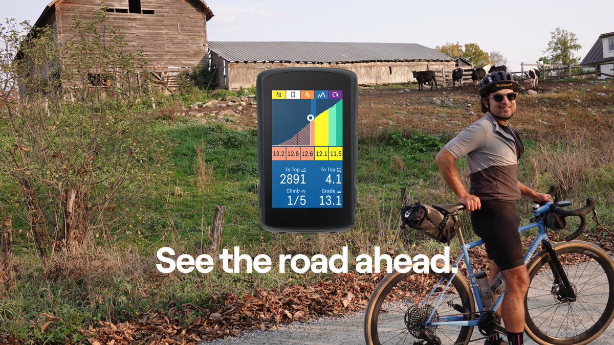
The Hammerhead Dashboard route creator is simple but powerful for quickly putting together a ride on familiar terrain, and, conveniently, it will be synced automatically with the head unit. For more elaborate planning I’ll turn to a full-featured mapping program like RideWithGPS. Uploading the final file is as easy as copying and pasting the link to the import function.

Here are two favorite local circuits starting in the quaint college town of Williamstown in Western Massachusetts. In addition to a variety of shops, restaurants, and pubs, the area boasts two world-class art museums, the Clark Art Institute and the Massachusetts Museum of Contemporary Art, and you can see original editions of the four founding documents of the United States of America in the Williams College Chapin Library.
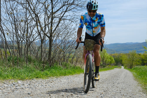
The first ride is a scenic and challenging day ride with gravel sections, working farms, a covered bridge, and a chance for a stop in downtown Bennington, Vermont for a quick refuel. It starts and ends at a coffee shop.
Williamstown-Bennington Scenic Mixed Terrain Loop
47mi / 76km
3700ft / 1128m climbing
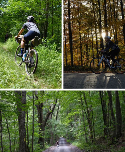
The second is an adventurous mixed-terrain overnighter with the lovely Arlington Inn as a stopover. Travel light with just a change of clothes in a seat bag for a nice dinner and comfortable sleep. There are numerous refreshment stops on the first day, but pack all you need for the second which features the formidable Kelly Stand Road dirt climb.
Williamstown-Arlington Adventurous Weekend
106mi / 171km
7600ft / 2316m climbing
Words by Joe Cruz

Joe Cruz is a philosophy professor and expedition cyclist as well as contributing editor at Bikepacking.com. He has designed numerous popular cycling routes including The Green Mountain Gravel Growler, Slovenia’s West Loop, Ted King's VTXL, and The Silk Road Mountain Race 1st edition. Joe lives in Pownal, VT and New York City.


